Altitude Changes on the Data Tag (3.5 Beta)
Last updated 2026-09-25
Captured 2026-09-25 from a 3.5 beta build on iPad Pro 13-inch (M5), on the Arnsberg-Menden (EDLA) level.
After a new altitude clearance, the data tag used to keep the old altitude until the aircraft had climbed or descended 500 ft. A regional jet takes about 17 seconds to do that and a light aircraft about 40, so for that long the tag gave no sign that the clearance had been taken.
In 3.5 the tag shows the new level as soon as the readback plays, and the altitude on it moves in 100 ft steps. Aircraft still change altitude at their own rate: this regional jet climbs at about 1,800 ft a minute.
What to look for in the clip:
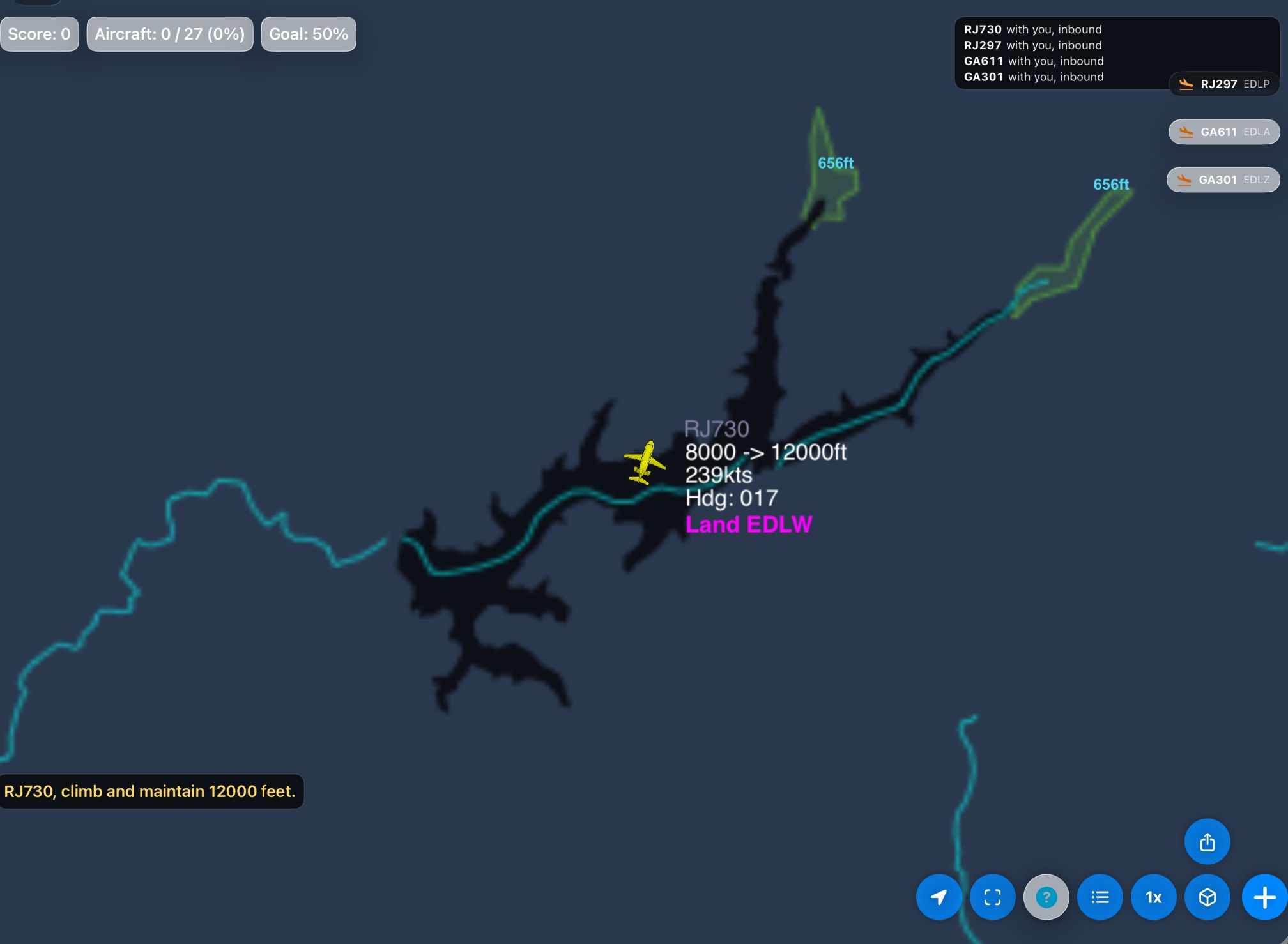
- 0:01 RJ730 is inbound to Dortmund at 8,000 ft. It is cleared to 12,000 ft, reads the clearance back, and the tag shows the new level at once.
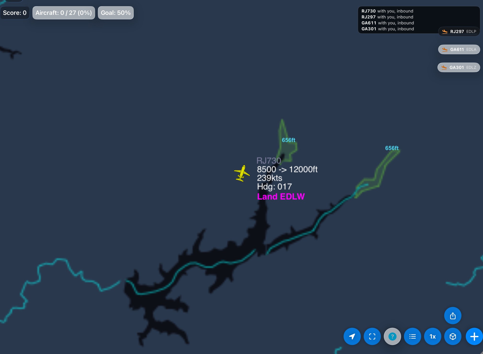
- 0:06 Normal speed: the altitude on the tag moves up every 100 ft, about every 3 seconds for this jet.
- 0:24 The rest of the climb at 4x.
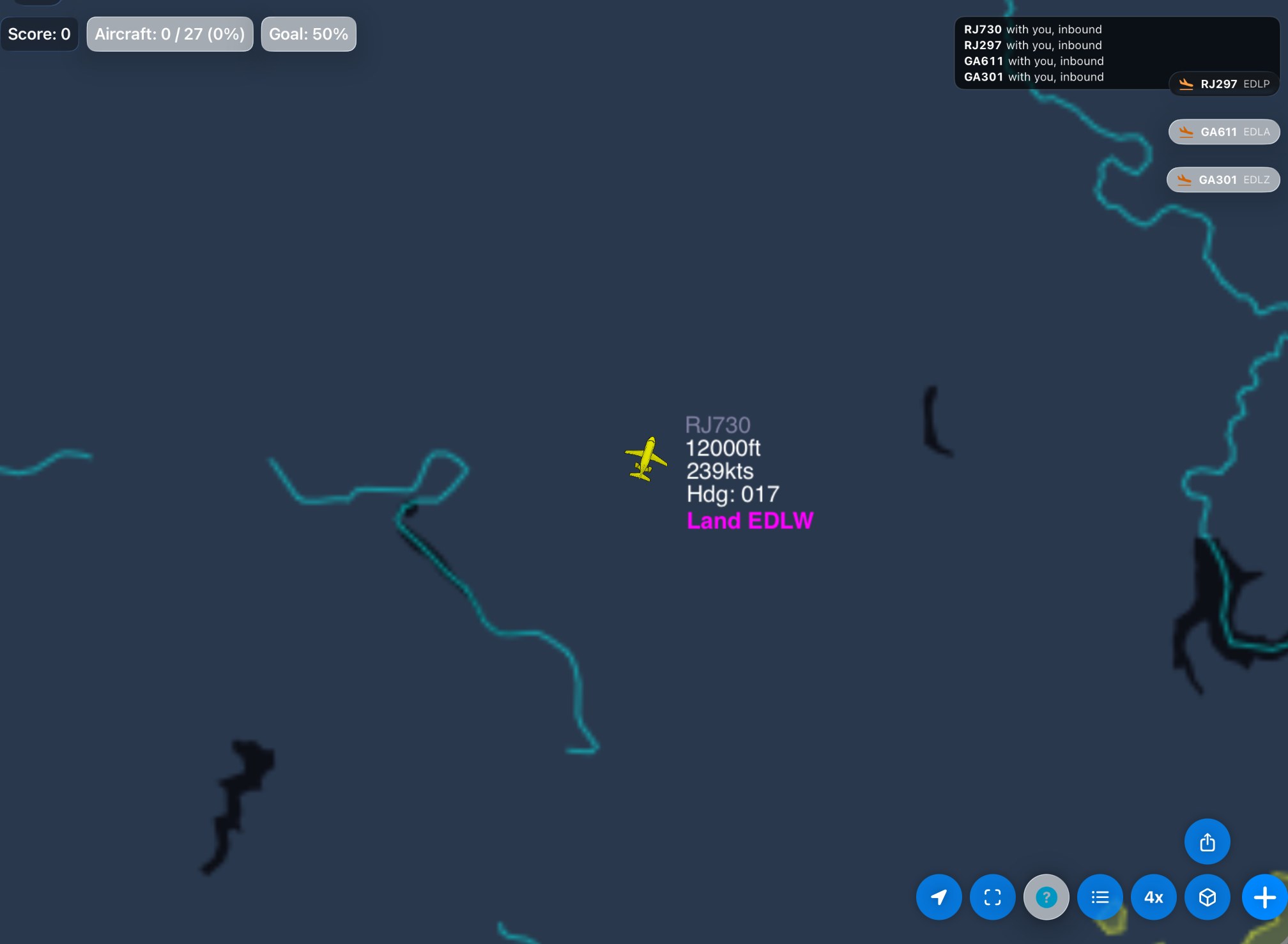
- 0:57 Level at 12,000 ft.
Straight after the clearance: the readback "RJ730, climb and maintain 12000 feet." is on screen, and the tag already shows the new level, 12000ft, beside 8000.
Fourteen seconds later at normal speed, the tag has moved up in 100 ft steps to 8500, about one step every 3 seconds.
Level at 12,000 ft.
Ships in 3.5.