Field Elevation on the Radar (3.5 Beta)
Last updated 2026-09-25
Captured 2026-09-24 from a 3.5 beta build on iPad Pro 13-inch, on the Lukla (VNLK) level.
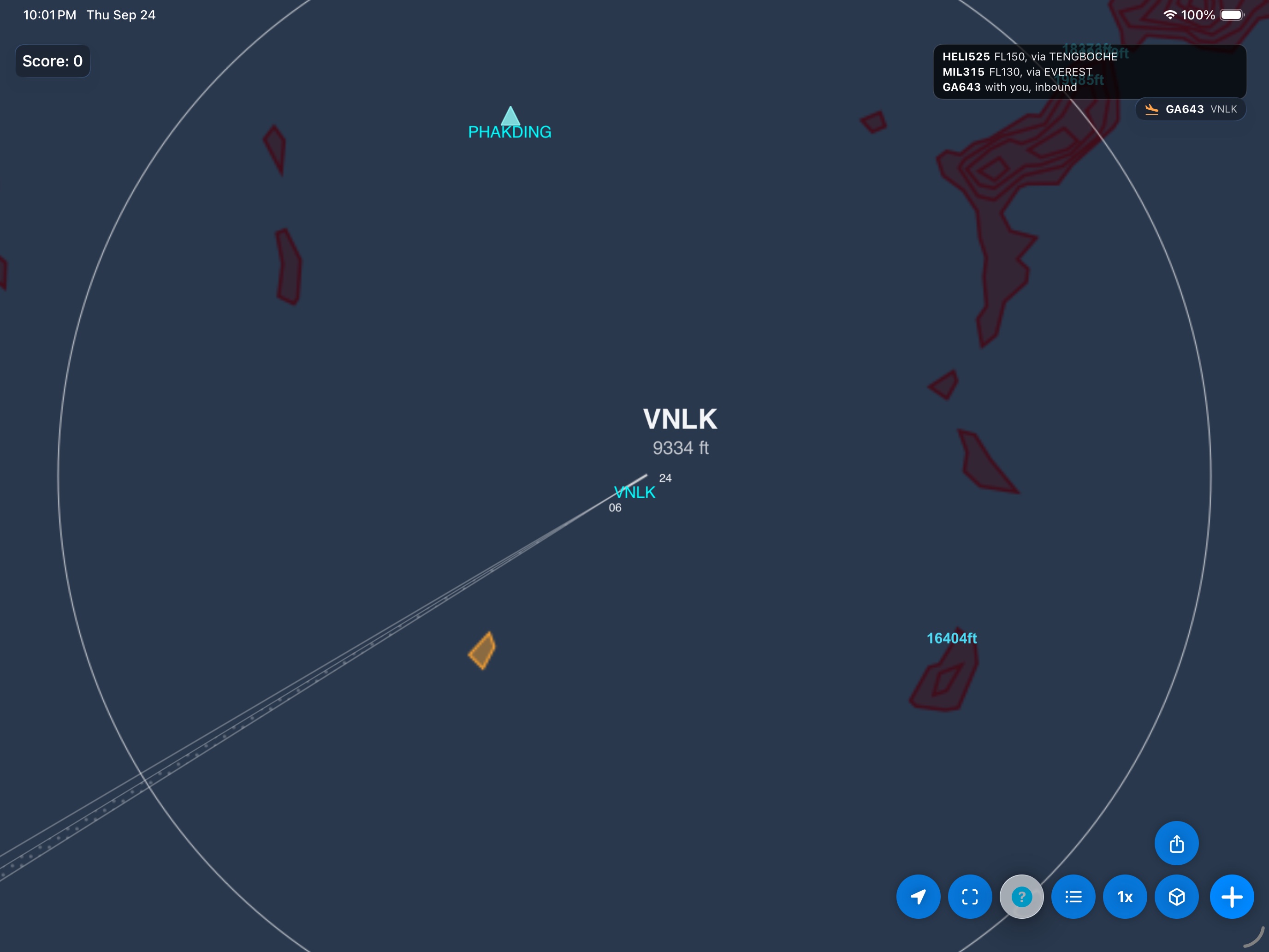
Airports at 1,000 ft or higher now show their field elevation under the name on the radar. Lukla sits at 9,334 ft.
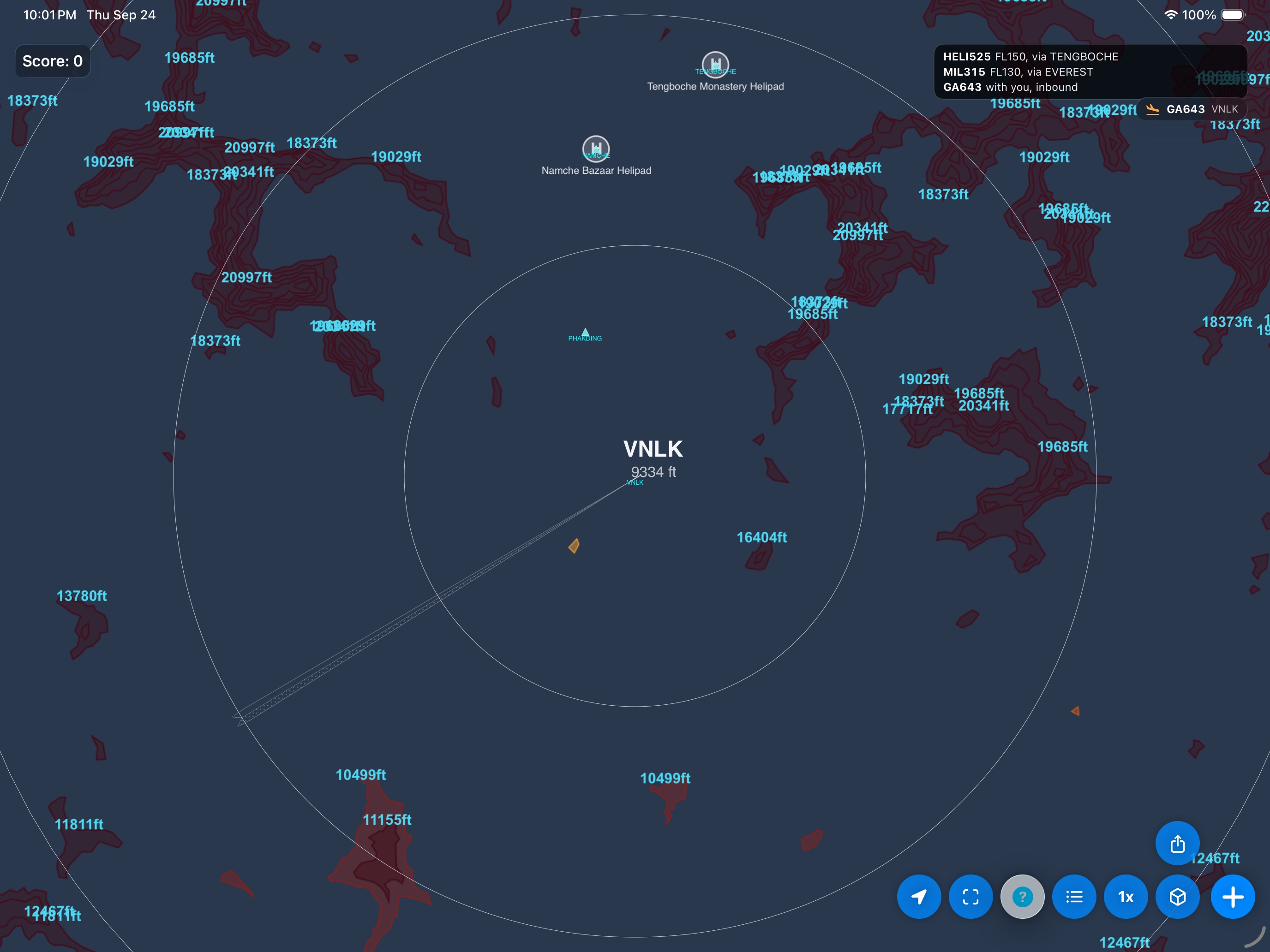
Zoomed out, the elevation stays readable next to the terrain heights around the valley.
Also in 3.5: arriving aircraft now check the ground under their spawn point and pick another spot if it is too close to terrain.